By LANNAN M. O’BRIEN
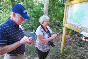 Since COVID-19 regulations began last year, Cape Codders, along with the rest of the world, have been forced to adjust to a new normal. Over months of social distancing, many have sought a means to cope with the weight of isolation and pandemic living and, as a result, found solace in nature. During a time of fear and uncertainty, conservation areas offered a sense of peace and even safety, as time spent outdoors was considered a safer alternative to indoor spaces like restaurants and shopping malls. Those who were new to the Sandwich conservation lands may have been pleasantly surprised to find, displayed in the kiosks at the entrance of each trail, instructions for downloading a maps app to help them find their way—making it even easier to relieve their stress in the great outdoors.
 The app, called Avenza Maps, was first made available to trail-goers in 2018, thanks to the Sandwich Department of Natural Resources. “It’s an important program for conservation because it’s a good way to get people into the conservation properties so the general public is able to see their value and use them,” Assistant Director of Natural Resources Joshua Wrigley said.
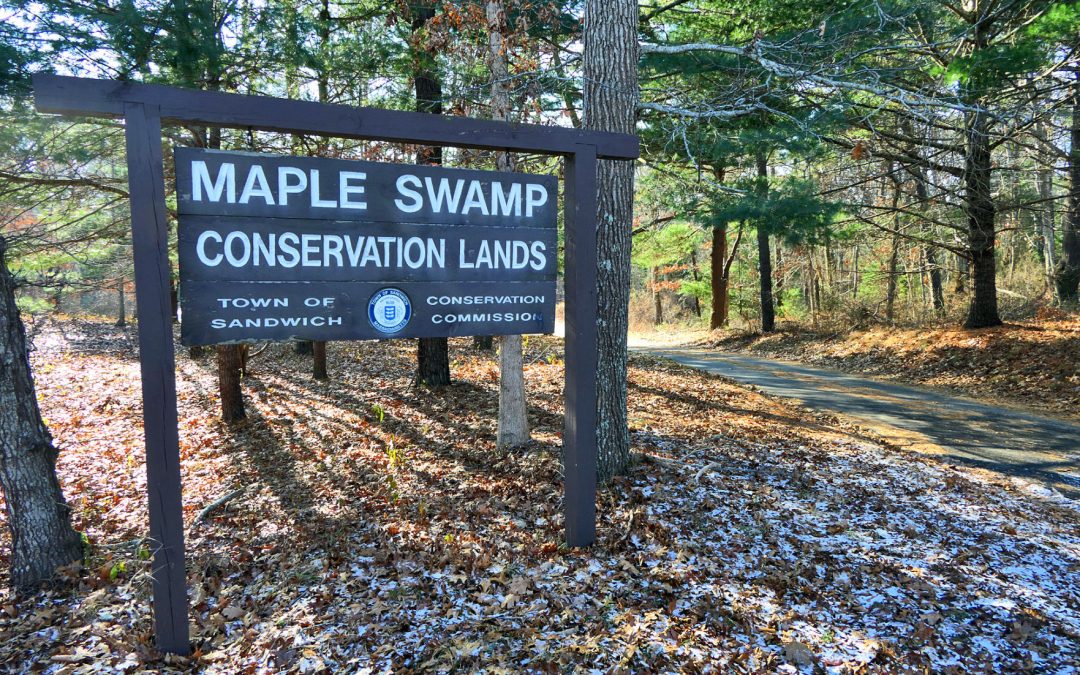
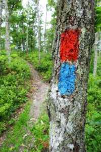
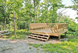
 The project stemmed from efforts by the department to improve signage at Maple Swamp Conservation Area, a 500-acre property situated off the Service Road that offers views of Cape Cod Bay. At the time, Mr. Wrigley said there were no signs, and the kiosk at Maple Swamp displayed an old trail map that “looked like spaghetti.” While there did not seem to be a major issue of trail-goers getting lost, he would hear stories occasionally about locals “getting turned around on the trails” before finding their way. The department collaborated with the Sandwich Conservation Trust to keep the heritage of the area alive through the
  naming of Maple Swamp trails. For example, Mr. Wrigley said, “There’s an area of Southwest Hill called Sam Nye’s Mountain. It has that great view of Cape Cod Bay.”
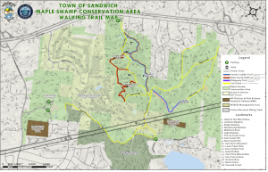 The app was intended to supplement efforts to improve signage and make the trails more accessible—but in addition to Maple Swamp, the department decided to include maps of all the town’s conservation lands. It was an extensive project, and Mr. Wrigley credits the department’s AmeriCorps volunteer, Allison Bargabos, with using GPS to map the trails on each of the six properties. With help from the town’s engineering department, the maps were uploaded and connected to the Avenza app for public use. “Everything was really done in-house,” he said.
 The app is especially helpful for nature walks because users do not need to be connected to WiFi or their service provider, and it works similar to other GPS apps like Google Maps. The user appears as a dot on the map that shows their exact location on the trail, updating with each step they take. After downloading Avenza Maps for free on the App Store or Google Play, users can access maps of each of the town’s conservation areas—Boyden Farm, Cook Farm, Maple Swamp, Murkwood, Ryder and Talbot’s Point—by selecting “Store” and searching for the location of their choice (the individual maps are also free to download). Once installed, maps are accessible in the “My Maps” tab and ready to use on future trail walks.
 It’s more than your average GPS app: Each map includes a description of the property and includes special features such as allowing users to add “Placemarks” pinpointing specific areas with GPS coordinates (users even have the option to save their own photos and descriptions with each Placemark—for instance, to relocate a scenic view or recall where they spotted that rare wildlife). Sandwich’s maps indicate trail names, distances, parking areas and “all the relevant information that most hikers, bikers and joggers will be looking for,” Mr. Wrigley said.
 Preserving cultural heritage will continue to be a priority for the department, Mr. Wrigley said, and the department’s director, David J. DeConto, already has another project in mind: utilizing QR codes on town trails to capture historic, environmental and cultural facts about specific areas, perhaps even with an audio tour component. For instance, Mr. Wrigley said, “If you’re hiking, you could come across a sign in an area of Maple Swamp [with a QR code] explaining why that area is historically significant.”
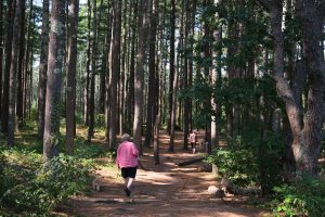
These QR codes would be a future project, but in the meantime the department continues to maintain the trails, closing down any unsafe “secondary” trails (paths cleared by individuals who are not associated with DNR) and encouraging residents to explore the properties using their ever-handy maps app. Now, there’s no excuse for “getting turned around on the trails”—at least while you’re in Sandwich.

